|
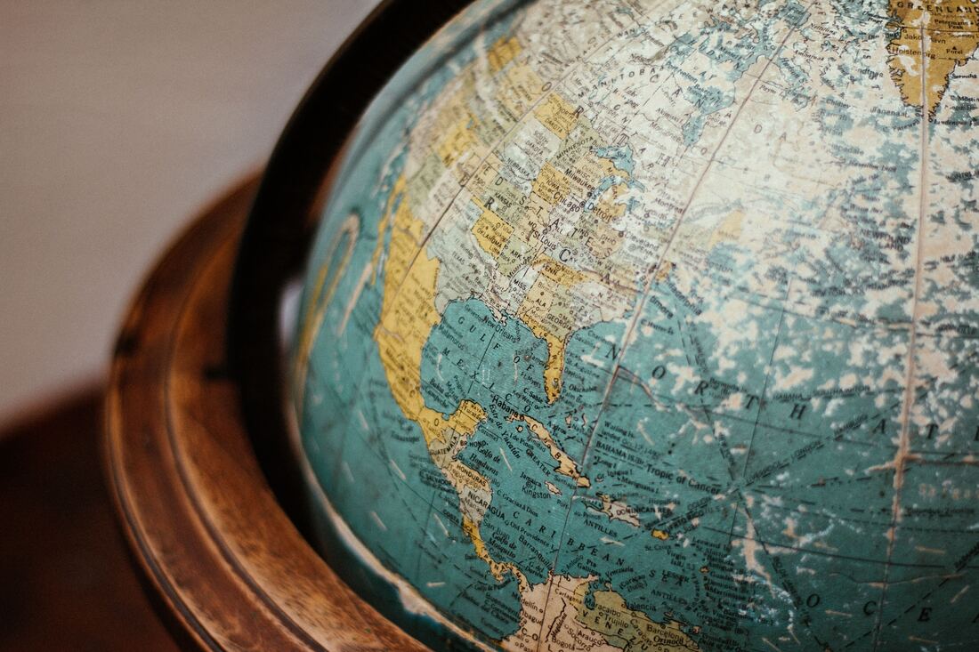
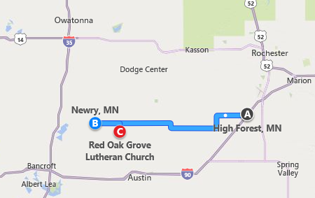
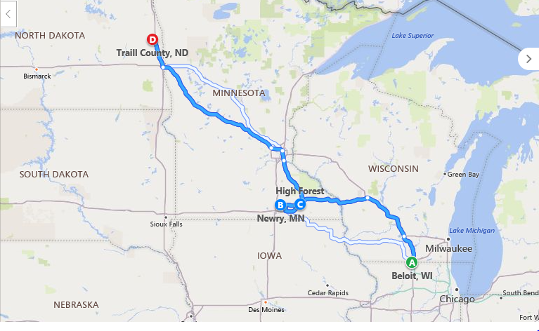
Have you tried mapping the locations where your ancestors have lived? I use mapping to get a visual view of ancestor’s locations across time. This technique helps me identify records to be searched in a particular location or that help identify why they moved to the next location. As you do your family story, mapping will help you with your research plan as well as provide additional content/context. Let’s look at an example. Recently I have been working on a client’s ancestry. The family that I’m researching came from Norway in 1848 and settled in the Midwest. We can first find them in 1850s in Beloit, Wisconsin. This was confirmed via Lutheran Church records and a family obituary. They are not showing up in the 1850s census. By 1865, the family has moved to Minnesota. They are living in High Forest, Olmsted County, MN according to the Minnesota Territorial Census of 1865. This is consistent with family story and obituary information as well as the Lutheran Church records. The next time we see the family in 1875 Minnesota Territorial Census, they are now living in Newry, Freeborn County, Minnesota. According to a church burial record, dated 1884, the family patriarch is buried in the Red Oak Gravesite in Austin MN. Let’s look specifically at the Minnesota locations. This visual shows that these locations were within 30 miles of each other. If you were researching this family, what questions would you have? I’m wondering why they moved from one location to another within those 30 miles. I will be reviewing the following: census records (what family members were living together in these locations), land records. Local county histories of Olmsted and Freeborn as well as Red Oak Lutheran Church history will help me to understand what life was like in that area of Minnesota in the late 1900s. A larger view of the family and extended family travels looks like this. Not only does it give us an idea of where they lived but also triggers more questions for us. Why did they did they move? What records are available to tell us more about their travels from Wisconsin to the Dakotas? Tools – Here are links to mapping tools. Use what you’re most comfortable with—they all provide basic functions. I haven’t found one yet that will provide directions from across the sea to North America. For purposes of your story you may need to combine maps and create your own to show the complete journey.
Bing Maps Google Maps MapQuest Paper Maps – Good old paper maps are also fun to use when researching your family. Do you remember when you went on vacation and marked your route using a colorful ink pen or marker? You could use a printed map to follow your family’s trail. You’ll find that this simple visual exercise will trigger more questions that will help your research and support your story. It will be more engaging for the reader of your family story to be able to see locations on a map. In the example I shared, the story could have sections: Norway, Wisconsin, Minnesota and North Dakota. As you write, you may choose to use location as you talk about your family story. Have fun mapping your family’s journey! “I've always been fascinated by maps and cartography. A map tells you where you've been, where you are, and where you're going -- in a sense it's three tenses in one. --Peter Greenaway
0 Comments
Leave a Reply. |
AuthorWith a lifelong passion for genealogy and history, the author enjoys the opportunity to share genealogy tidbits, inspiring others to research and write their family story. Archives
July 2024
Categories |
 RSS Feed